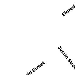
13 DONALD ST
Owner Information
KINGER VIKAS &
13 DONALD ST
LEXINGTON, MA 02420


Property Details
13 DONALD ST is classified as a Single Family Residential.
The primary structure on this property was built in 1950. There are 2,623ft2 of built area within this property.
13 DONALD ST is valued at $730,000. The land is valued at $494,000 and the structures are valued at $235,000.
This property is in Zone RO. Confirm with local Zoning Board authorities to ensure there are no overlays or other easements on this property.
The most recent deed for 13 DONALD ST is recorded at the local registrar in Book 1385, Page 0034. 13 DONALD ST was last sold on Friday, June 4, 2010 for $533,000.
Assessment data from fiscal year 2022.
Flood Data
According to the FEMA National Flood Hazard Layer, this property does not appear to be in a flood zone. It may also be in an area not yet reviewed. Nonetheless, confirm this information prior to taking any action.
To view the flood hazards around this property, create a FEMA "Firmette" Map of the area around 13 DONALD ST.
Broadband Internet Providers
| Provider | Type | Bandwidth (mbps) | |
|---|---|---|---|
| Verizon New England Inc. | Fiber | 940 | 880 |
| Comcast | Cable | 1000 | 35 |
| RCN | Cable | 500 | 20 |
| RCN | Cable | 1000 | 20 |
| GCI Communication Corp. | Satellite | 0 | 0 |
| HughesNet | Satellite | 25 | 3 |
| VSAT Systems, LLC. | Satellite | 2 | 1 |
| Viasat Inc | Satellite | 100 | 3 |
Broadband service provider data from December 2020.
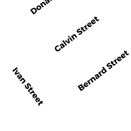
Adjacent Properties
- 11 DONALD ST
Single Family Residential owned by BAGULI SUBRATA & - 15 DONALD ST
Single Family Residential owned by ASTORGA-VERGARA JUAN FRANCISCO & - 18 CALVIN ST
Single Family Residential owned by DANDA PRASHANT & - 16 CALVIN ST
Single Family Residential owned by CHERUKU TRS RAO & SUDHA MADHAVI - 12 CALVIN ST
Single Family Residential owned by YUKI, TRS KOICHI & GRACE